游客,您需要 回复才可以查看:下载地址 或 解压密码! 立即注册
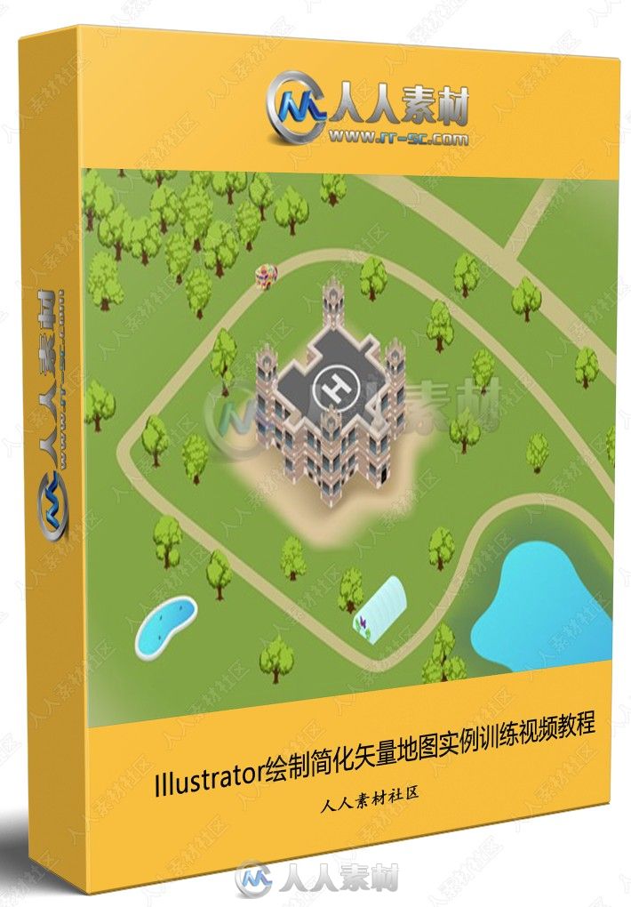
本教程是关于Illustrator绘制简化矢量地图实例训练视频教程,时长:1小时51分,大小:290 MB,MP4高清视频格式,教程使用软件:Illustrator,作者:Tony Harmer,共193章节,语言:英语。
Adobe Illustrator是一种应用于出版、多媒体和在线图像的工业标准矢量插画的软件,作为一款非常好的图片处理工具,Adobe Illustrator广泛应用于印刷出版、专业插画、多媒体图像处理和互联网页面的制作等,也可以为线稿提供较高的精度和控制,适合生产任何小型设计到大型的复杂项目。
更多相关内容请关注:Illustrator视频教程专区,中文字幕教程专区
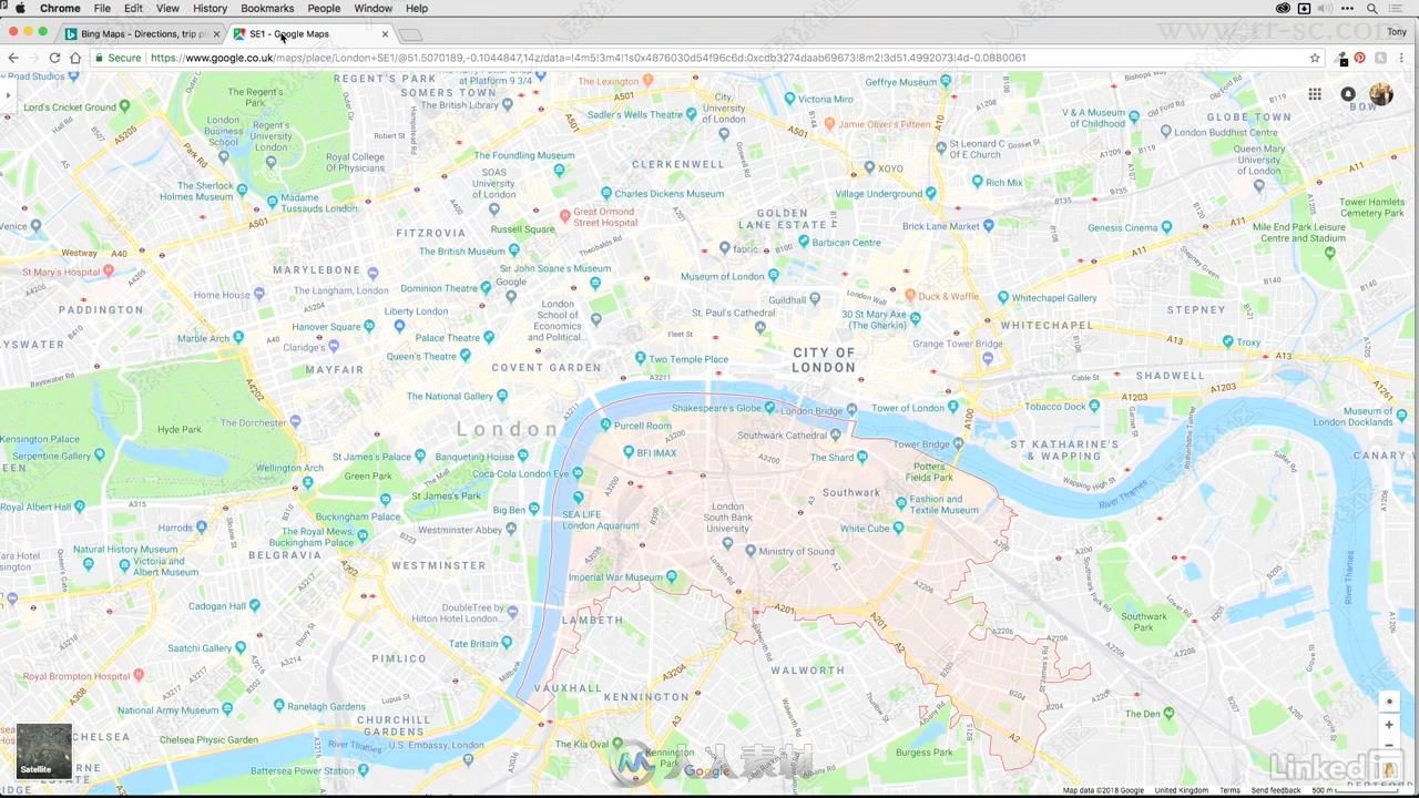
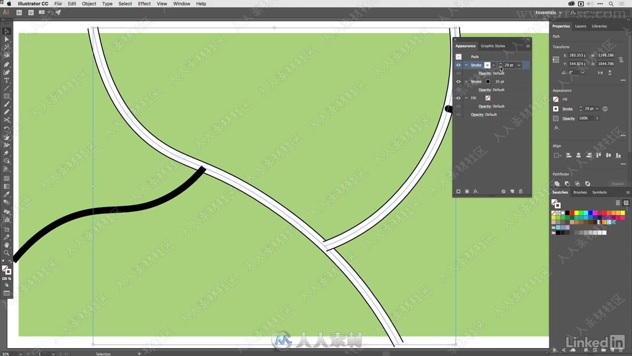
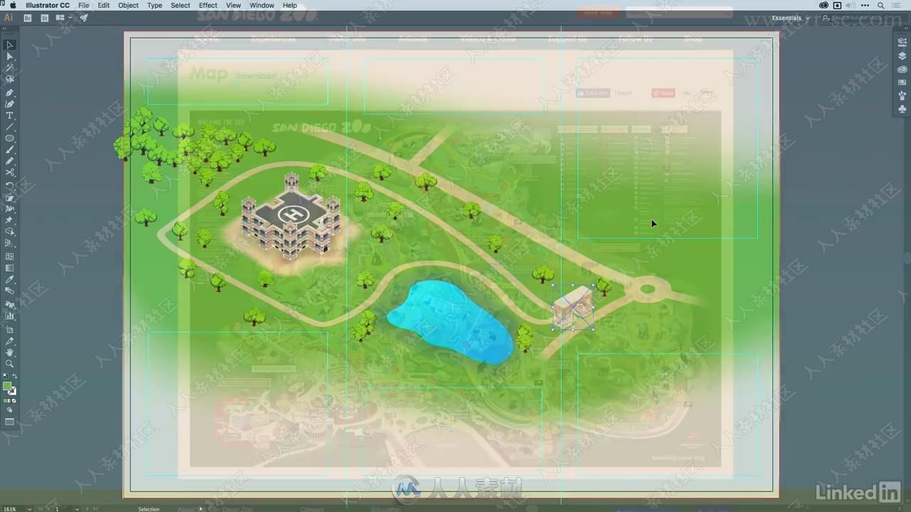
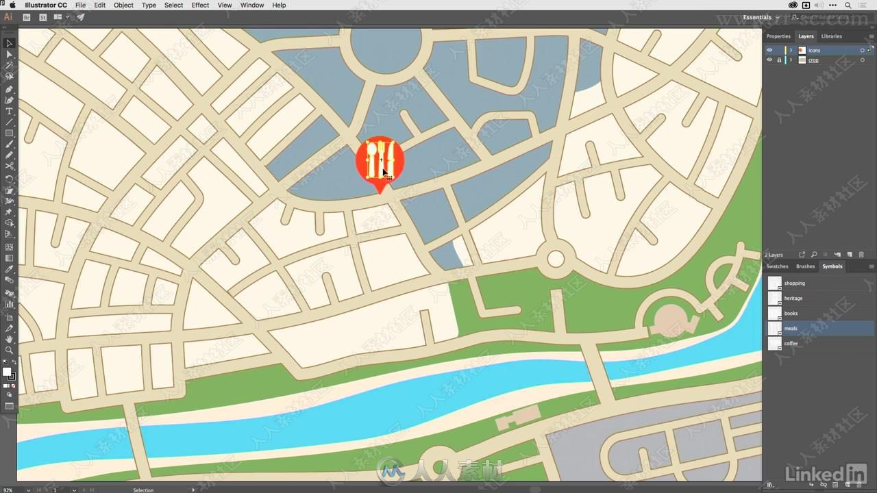
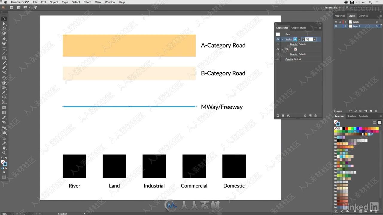
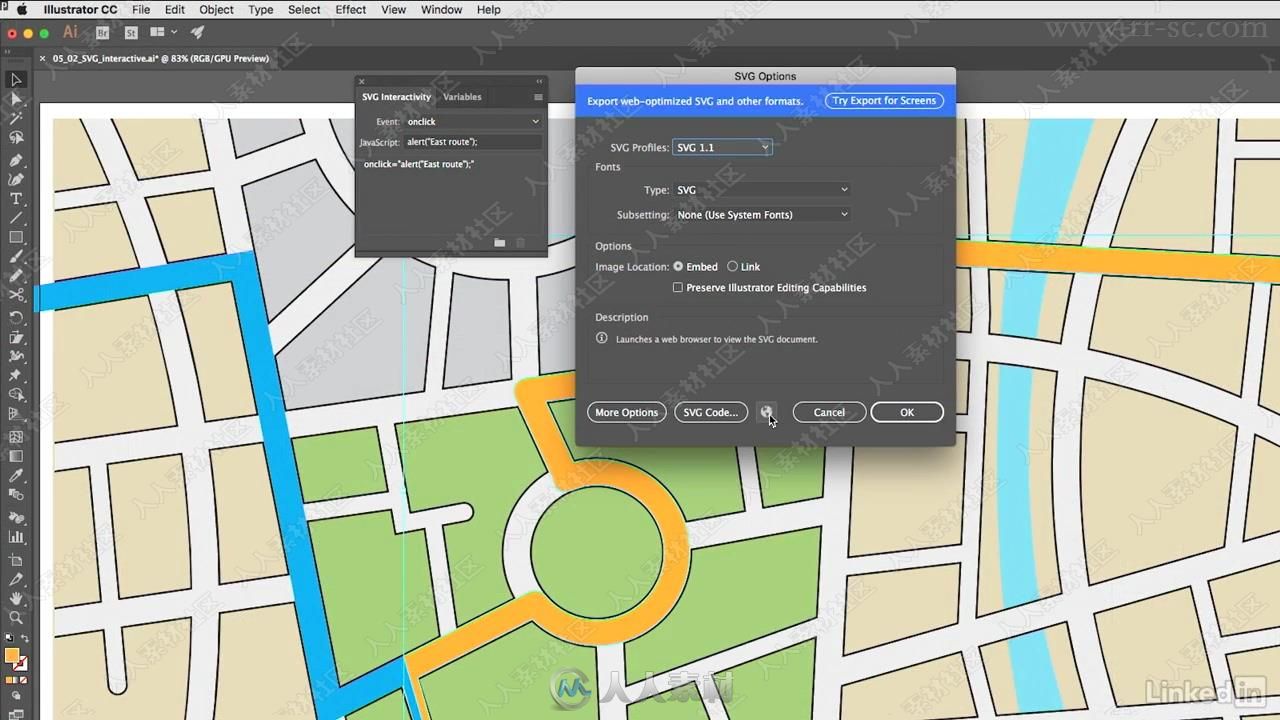
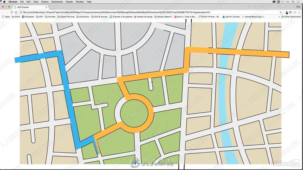
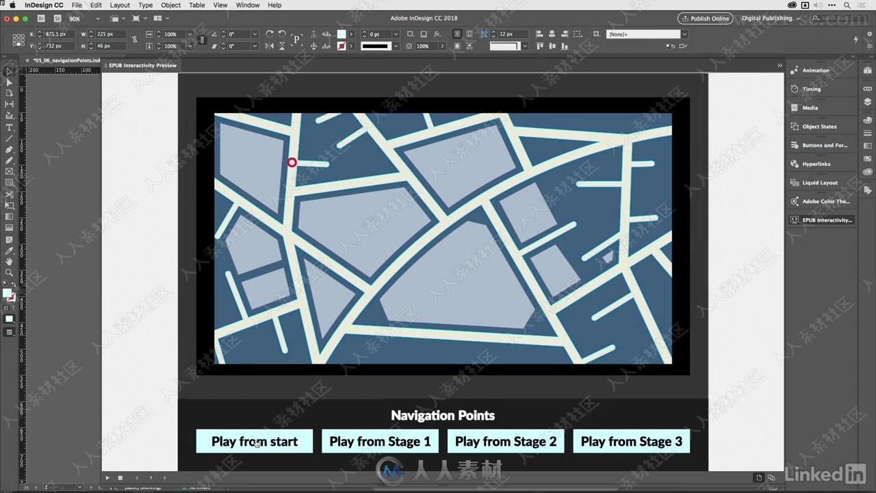
Mapping is a common design task. Designers are asked to reinterpret map data to make a location—think a theme park or college campus—seem friendlier or more approachable. In this course, Tony Harmer teachers you how to create a simple, easy-to-read map in Illustrator, using the ArcGIS plugin and other basic reference tools. Tony explains what you should consider before drawing your map, including its purpose, audience, and destination (print or digital), and then shows how to build a map that is scaled correctly and includes important topographical features and landmarks, such as roads and buildings. He enhances the map with dynamic markers, perspective, and labels, and then he shows how to add motion and interactivity to make your maps more useful in today’s connected world.
更多相关内容请关注:Illustrator视频教程专区,中文字幕教程专区
|


 1/2
1/2 
